

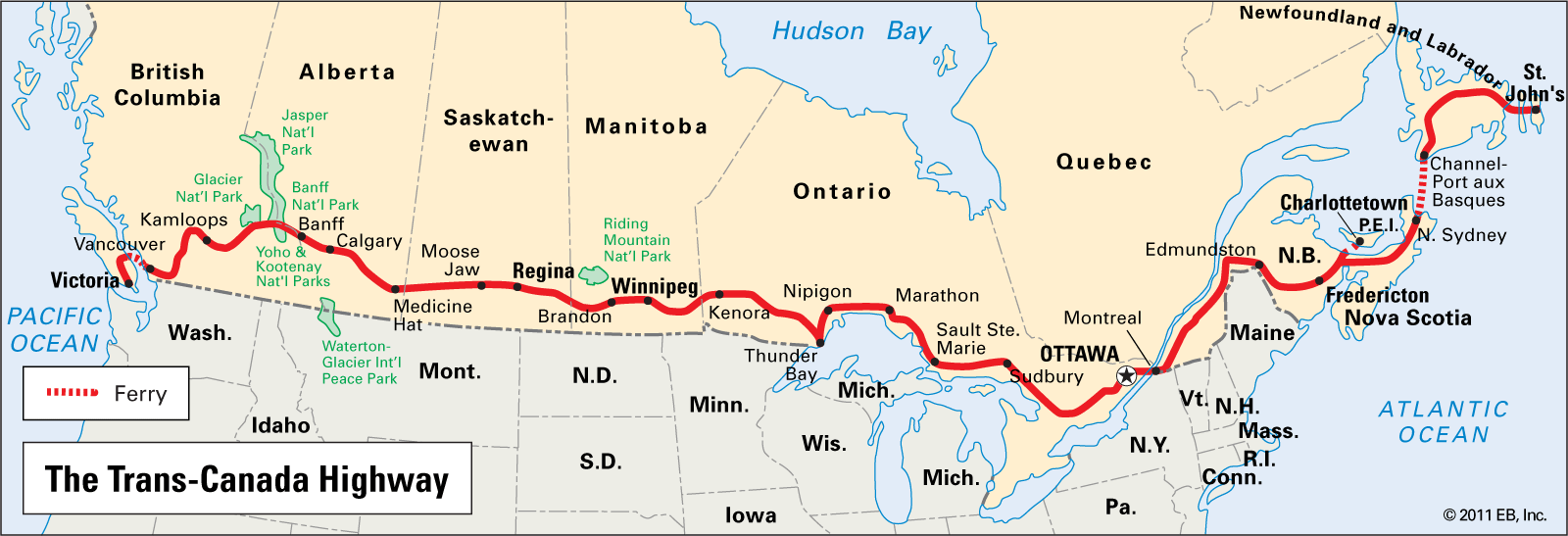
A map of the Trans-Canada Highway
Encyclopedia Britannica
The red line on this map of Canada shows the coast-to-coast path of the Trans-Canada Highway. The highway connects Vancouver to Sydney, Nova Scotia. It features two ferries that connect Newfoundland and Victoria to Canada’s mainland.