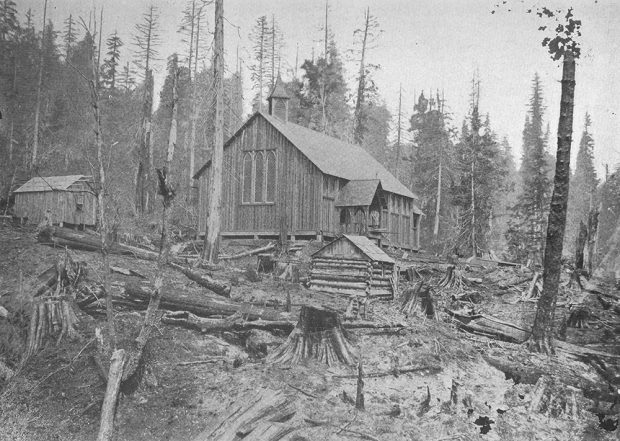
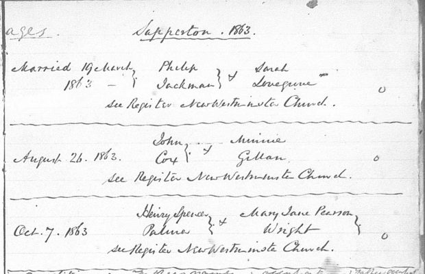
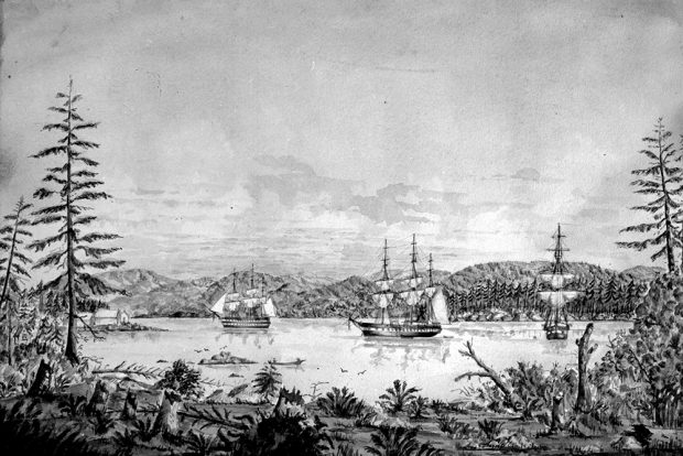
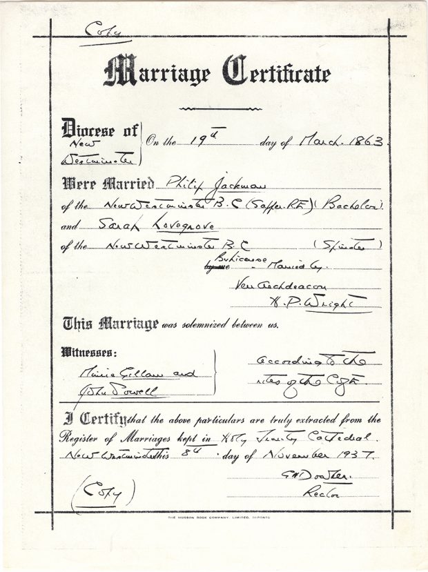
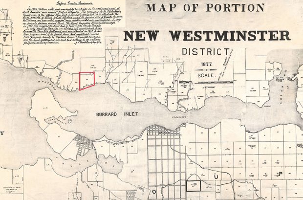
Gallery

Explore the gallery to view the images and listen to the audio related to Royal Engineer to Reeve: The Life and Times of Philip Jackman.
A black and white photograph taken in 1917 of an elderly Sarah Ann Jackman wither her two young great grandchildren sitting on a porch. Sarah has her hands on the shoulders of the two children.
A black and white photograph of the Trinity Church and two other small wooden buildings around it. The buildings are situated in a recently logged plot of land with felled trees and stumps littered throughout the foreground
A facsimile of a handwritten marriage register page that documents three marriages that occurred in Sapperton in 1863.
A black and white illustration of the bay at Esquimalt in 1862. The bay is shown from a low perspective along the shore. There are three European ships anchored in the bay with a rolling mountain landscape in the background.
A marriage certificate facsimile for Philip Jackman and Sarah Ann Lovegrove, which was drafted in New Westminster, British Columbia. The certificate notes the date, location, officiant, and witnesses from the wedding ceremony.
A black and white photograph taken circa 1900 of the Old Yale Road. The road is a narrow dirt path that winds through a dense forest.
A photograph of a burgundy coloured plaque placed on a large granite stone at Yale, British Columbia. The plaque highlights the history of the construction of the Cariboo Wagon Road.
A black and white photograph of a narrow wagon road built along a rocky cliff that sits above a river. Sections of the road are made up of bridges with wooden railings on one side.
A facsimile of an 1864 baptismal record from St. Mary’s church in Sapperton. It documents the date of birth of Philip Jackman Jr., and lists Philip and Sarah Jackman as parents.
A government document with a diagram of a pink coloured square-like shaped lot of land that is along a body of water labelled as Burrard Inlet.
A black and white photograph of the Hastings Sawmill in 1872. The mill is located along the shoreline and has a number of small buildings around it. There is a European ship docked at the port on the left side of the image.
A map of the New Westminster District which includes Burrard Inlet. The map identifies lots, roads, landmarks, bodies of water, and has Lot 266 along Burrard Inlet highlighted in red.
  1. Page 3 of 7
  2. 1
  3. 2
  4. 3
  5. 4
  6. 5
  7. 6
  8. 7