
Gallery

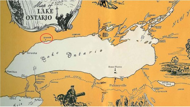
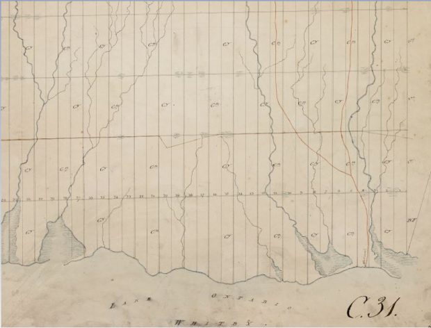
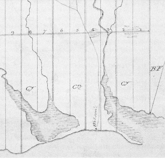
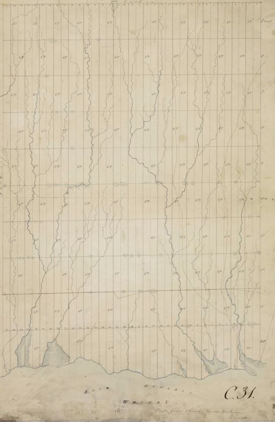
Welcome to our gallery of images illustrating Oshawa's waterfront at work and play. Please browse the gallery below for all the images and videos related to the exhibition. Click on an item to see an enlarged image with description or to play the video or audio clip.
Colour map of Lake Ontario showing the location of ports and cities on both sides of Lake Ontario.
A hand-drawn map of lots and concessions in black ink. A hand drawn line is depicted in a different colour, a reddish-brown ink, indicating the location of a first nation walking path and ‘Willsons’ is noted at the bottom of the map where the water meets the land.
Black and white hand drawn survey with vertical lines that break up the land into rectangles representing lots. Areas that are shaded indicate the location of water and creeks.
A hand-drawn map of lots and concessions in black ink. A hand drawn line is depicted in a different colour, a reddish-brown ink, indicating the location of a first nation walking path and ‘Willsons’ is noted at the bottom of the map where the water meets the land.
Colour map showing Glacial Lake Iroquois and the original shoreline shaded in green.
Sepia photograph of graves amongst overgrown grass. and trees surround the graves in the background.
Colour painting with nine individuals, a dog and numerous birch bark wigwams located beside a body of water.
Black and white sketched survey showing the proposed sites for the Harbour.
Copy of Act to Incorporate The Sydenham Harbour Company
Black and white photograph of a house with large trees surrounding it. Written on the photograph is 'William Farewell house on Marsh land 1844'.
Colour, hand-drawn survey of the Oshawa harbour.
Colour painting with eight people snow is covering the ground and the trees. Some of the people are carrying rifles, others are carrying blankets, furs. There are two toboggans carrying unidentifiable objects.
  1. Page 1 of 9
  2. 1
  3. 2
  4. 3
  5. 4
  6. 5
  7. 6
  8. 7
  9. 8
  10. 9