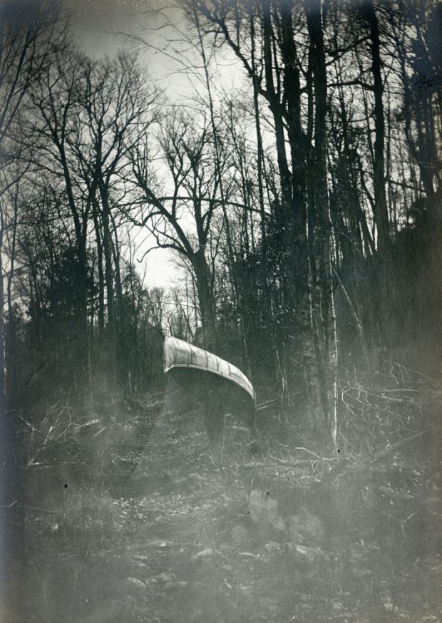
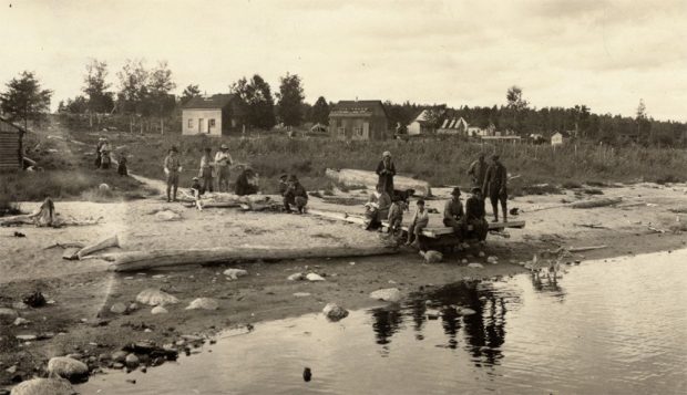
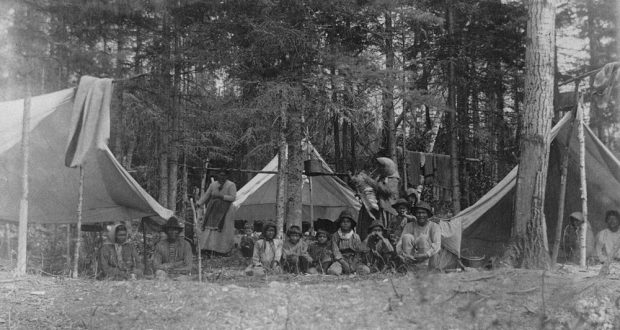
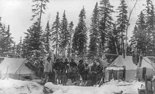
Gallery

Please browse the gallery below for all the images, videos and audio related to The Saint-Maurice: Creative Source of the Mauricie. Click on an item to see an enlarged image with description or to play the video/audio clip.
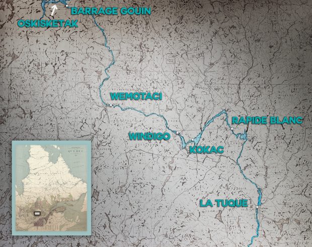
A man carries a canoe on his shoulders in the middle of the forest.
A group of people are standing on a beach. Behind them are modest wooden houses across the land.
Indigenous people of all ages pose in the midst of rudimentary tents surrounded by tall coniferous trees.
Indigenous people of all ages pose in the snow amidst rudimentary tents in the forest
Geographical map illustrating the very dense hydrographic network and the main inhabited places of Haute-Mauricie: La Tuque, Rapide Blanc, Windigo, Wemotaci and the Gouin Dam to the north. We also can see the location of Atikamekw meeting points: Kokac and Oskisketak
Indigenous people are sitting in five canoes filled with belongings on the river
The Saint-Maurice River flows between high cliffs covered with autumn-coloured trees
Jean-Philippe Marcotte, Entertainer and History Interpreter
Réjean Loranger, a retired Belgo employee
Gilles Fréchette, a retired Alcan employee
  1. Page 7 of 8
  2. 1
  3. 2
  4. 3
  5. 4
  6. 5
  7. 6
  8. 7
  9. 8