
Gallery

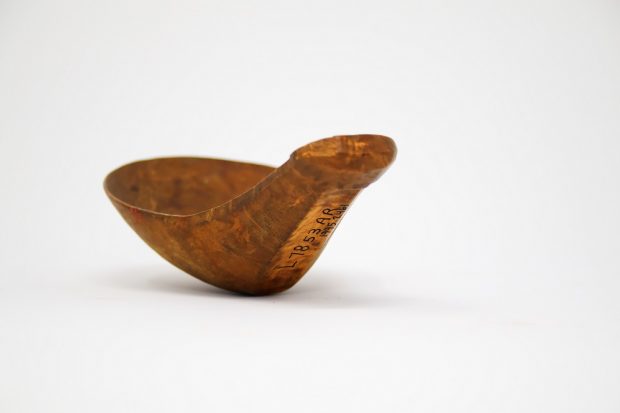
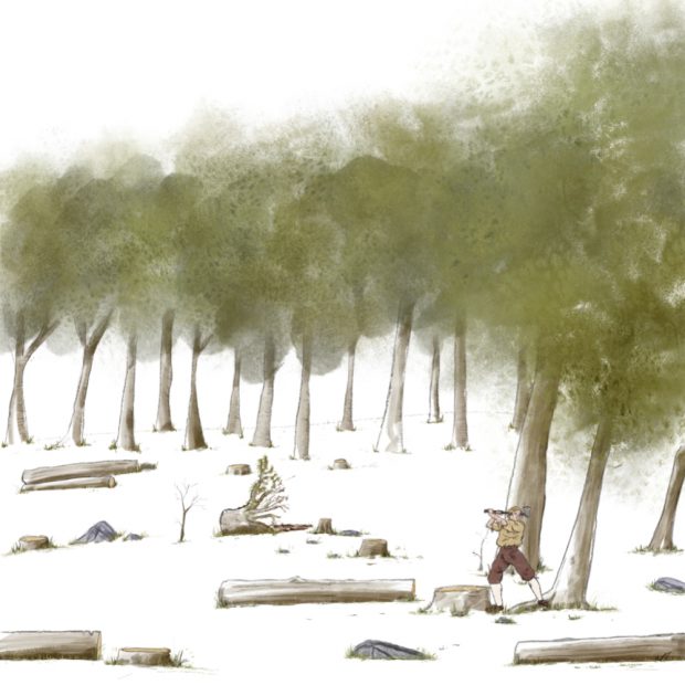
In this gallery, photographs and archival documents, artefacts, drawings and topographic maps will allow you to discover the history of Sainte-Anne-de-la-Pérade in pictures.
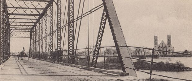
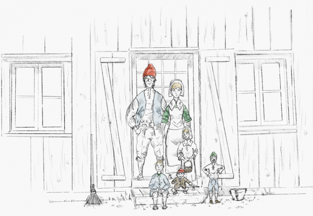
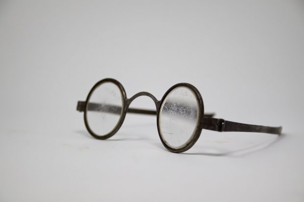
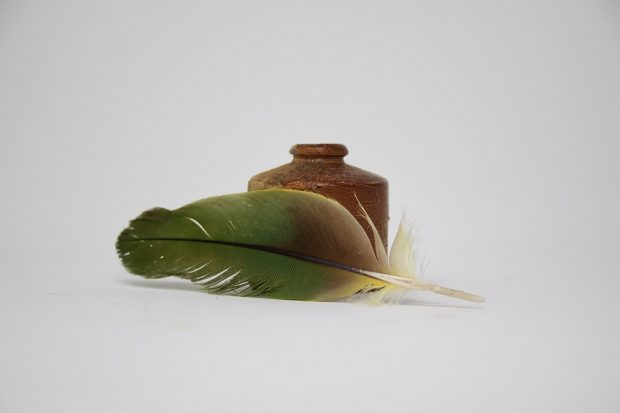
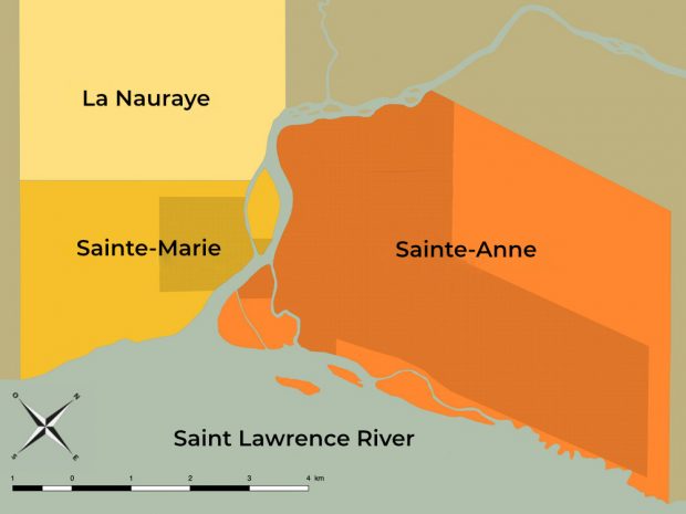
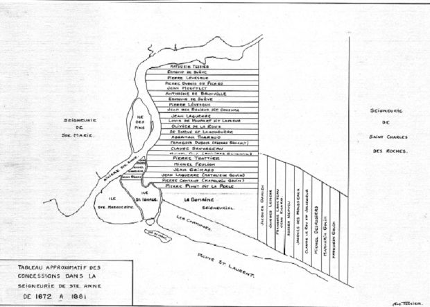
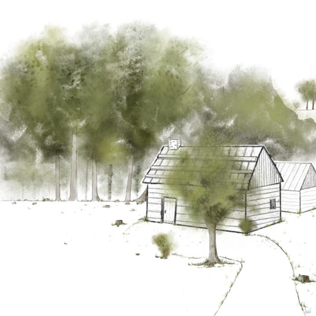
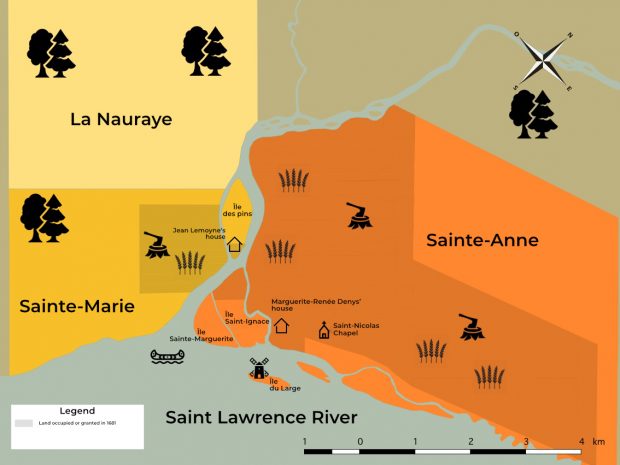
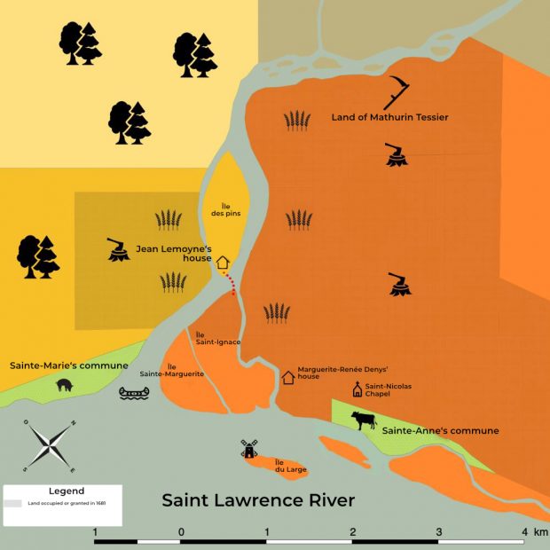
View of Sainte-Anne-de-la-Pérade’s bridge spanning the Sainte Anne River and on which there is a horse-drawn carriage led by two men and there are also two other men leaning on the railing. In the distance we catch sight of Sainte-Anne Church.
Drawing of Michel Roy said to be Châtellerault with his wife and his four children in front his house’s door.
Photograph of round metal and glass spectacles used in the time of New France.
Photograph of a quill and a cylindrical inkwell made of ceramic and sandstone.
Topographic map of Sainte-Anne Sainte-Marie and La Nauraye seigniories bordering the Sainte-Anne River which flows into the Saint Lawrence River.
Approximative black and white cadastral map of lands granted in Sainte-Anne seigniory between 1672 and 1681 with the owner’s name on each of them.
Drawing of a piece-by-piece settler’s house with a plank roof located on cleared land.
Topographic map of Sainte-Marie and Sainte-Anne seigniories on both sides of the Sainte-Anne River where we can see the location of Jean Lemoyne’s house.
Drawing of two Algonquins approaching île Saint-Ignace on a canoe to participate in Michel Gamelain’s brandy-trading business.
Photograph of a wooden mess tin used by crew members to eat.
Topographic map showing the path followed by Michel Roy between Île des Pins and île Saint-Ignace.
Drawing of Jean Lemoyne in the midst of mature trees clearing his land with an axe.
  1. Page 1 of 7
  2. 1
  3. 2
  4. 3
  5. 4
  6. 5
  7. 6
  8. 7