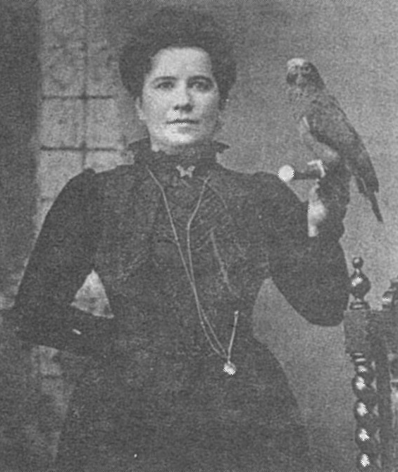
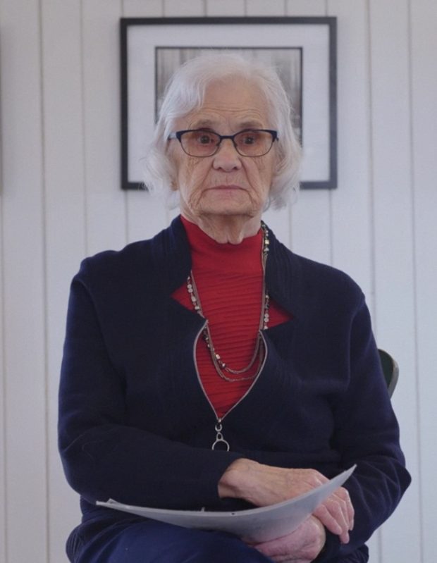
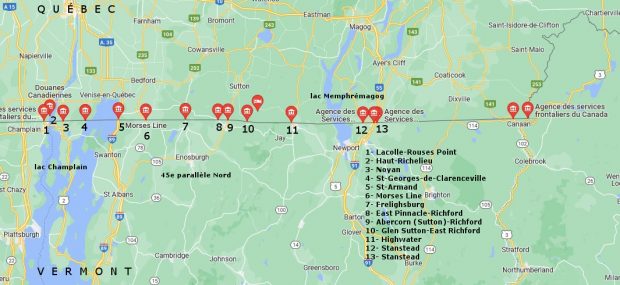
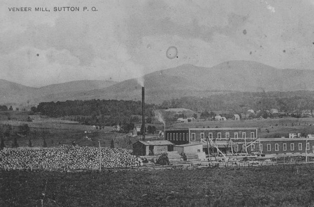
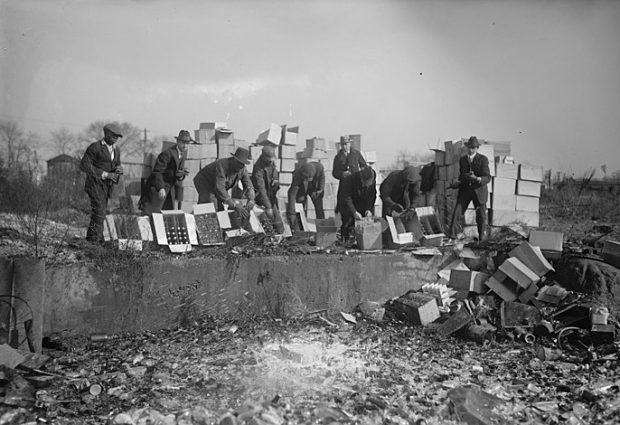
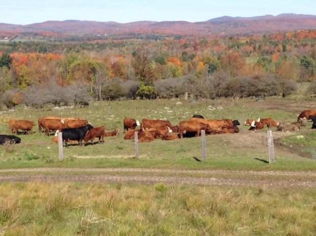
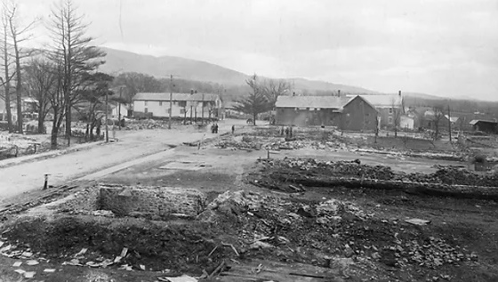
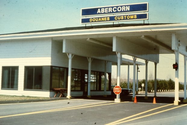
Gallery

A collection of photos, illustrations, archival documents, and video and audio testimonies that tell the story of Sutton, a community shaped in large measure by its proximity to the border with Vermont.
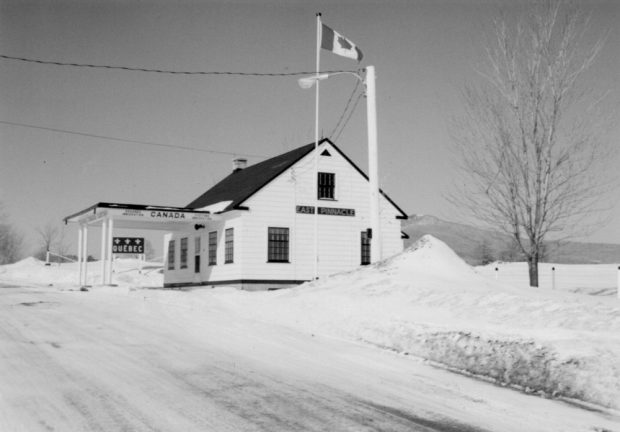
Photo of Georgette, Denise and Thérèse Potvin
Photo of Queen Lill holding a parrot.
Photo of Iboya Szabo-Hancock at the registration on September 20, 2020
Map showing 13 customs posts on the Canada-U.S. border between Lake Champlain and Lake Memphremagog. From left to right: Lacolle-Rouses Point, Haut Richelieu, Noyan, Saint-Georges de Clarenceville, Saint-Armand, Morse’s Line, East-Pinnacle-Richford, Abercorn (Sutton)-Richford, Glen Sutton-Richford, Highwater, Stanstead and Stanstead.
In the foreground is Sutton’s Veneer Mill plywood factory on Western Street and its log-filled lumber yard; in the background, the Sutton Mountains.
Officers throw bottles and crates of beer and alcohol into a pit.
Cows and bulls graze peacefully in a pasture.
All that remains after the attacks of September 2001 are piles of concrete and scrap metal.
Looking south at the ruins along Main Street caused the fire on April 16, 1898. In the background the Dyer and Thompson & Greely stores are still standing.
On the left, flames engulf the South Tower of New York’s World Trade Center. On the right, a dense column of black smoke rises from the North Tower.
The East Pinnacle border crossing before arriving in Richford is located in the middle of a field on a secondary road; in winter, as in this photo, it blends in even more with the landscape because of its white surface.
  1. Page 1 of 8
  2. 1
  3. 2
  4. 3
  5. 4
  6. 5
  7. 6
  8. 7
  9. 8