

The road to freedom
Large numbers of black slaves fled and sought refuge in Canada. Many used what was termed the Underground Railroad, a clandestine network of meeting points, secret routes, and safe houses. Between 30,000 and 40,000 people would have used it to escape across the border, mainly to Ontario. The 1850s were its most active decade.
Several routes in this clandestine network criss-crossed Vermont on its way to the border. The western route went through St. Albans, Berkshire, Enosburg, Montgomery and, finally, into Canada. Arms family folklore says that the house they sold to the Hancock family, (which, incidentally, housed a customs post), was one of the terminals of the Underground Railroad.
The eastern route led to Albany and Troy; fleeing slaves would then cross the Missisquoi Valley and end up in Sutton or Potton Townships.
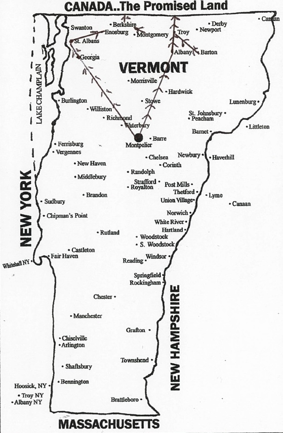
The Underground Railway, a veritable path to freedom in Canada.
An early map identifies Jerico Road (now located at the end of Judd Road) as a gateway to Canada for fleeing slaves. The small black community that lived around Abercorn in the mid-19th century eventually dispersed. In order to fight during the Civil War, and afterwards, following the North ’s victory and the abolition of slavery, many of the slaves who’d found refuge in Canada returned to the United States.
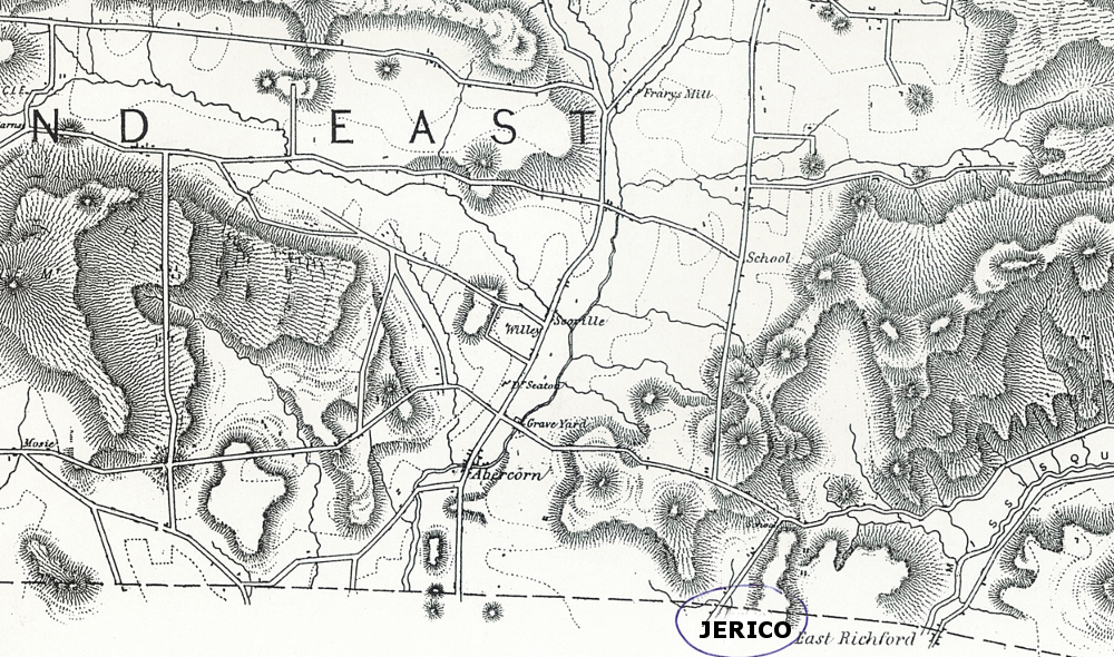
Jerico Road can be seen at the bottom of the map, along the border near East Richford.