

The border is established
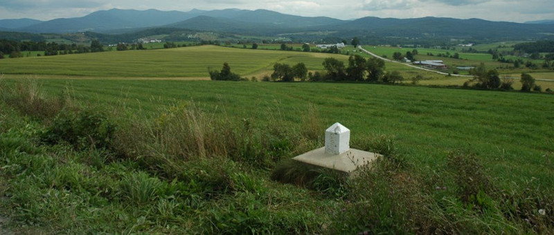
This scenic view shows how well the border blends into the landscape, making it almost invisible.
The United States is just a short distance away, on the other side of the border — “the line” as people call it — that separates Vermont and Sutton Township. In the hollow, a bit further on, nestles the American town of Richford. Towards the right is Frelighsburg, to the left is Abercorn, and on the other side, between the mountains, is the Missisquoi River Valley and Glen Sutton.
The fact that the United States borders Sutton Township has influenced its history for more than 200 years.
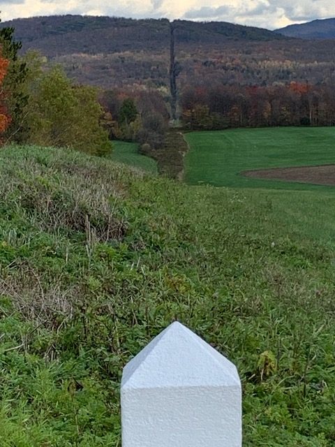
Outside the towns and villages, the border is nothing more than a few markers and a 6-meter-wide vegetation-free strip of land.
The first Canada-United States border was established by the Treaty of Paris in 1763 after England emerged victorious from the Seven Years’ War. New France became British territory. King George III signed a Royal Proclamation that sets out the lands he now governs in North America. The province of Québec was created north of the New England states, including Vermont. The 1783 Treaty of Versailles recognized the independence of the United States and confirmed the location of this new border.
Sutton Township was surveyed in 1792 and settlers from the United States came to colonize the area. Some were loyalists who had supported England during the American War of Independence; others were simply looking for land to clear.
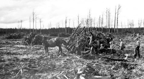
Before he can benefit from his plot of land, the settler must transform it into pastures and fields to sow.