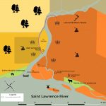
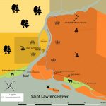
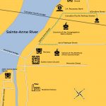
Category: Map & Chart
- Buildings & Structures
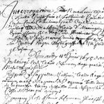
- Document
- Events
- General
- Landscape
- Object
- People
- Sex
- Sports & Games
- Transport
- Type
- Work


- Page 1 of 2
- 1
- 2


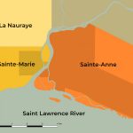
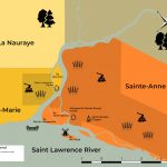
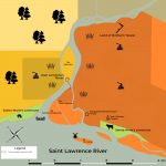
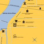
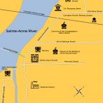
From Pioneer to Premier: the Seigniorial and Village History of Sainte-Anne-de-la-Pérade From Pioneer to Premier: the Seigniorial and Village History of Sainte-Anne-de-la-Pérade Domaine seigneurial Sainte-Anne