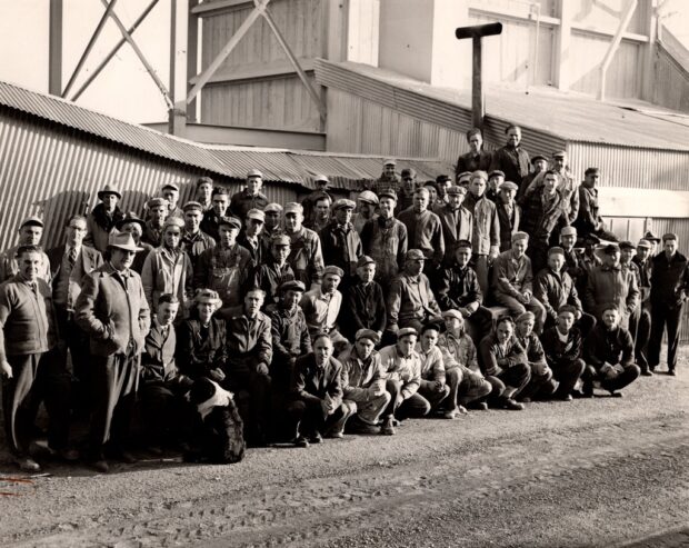
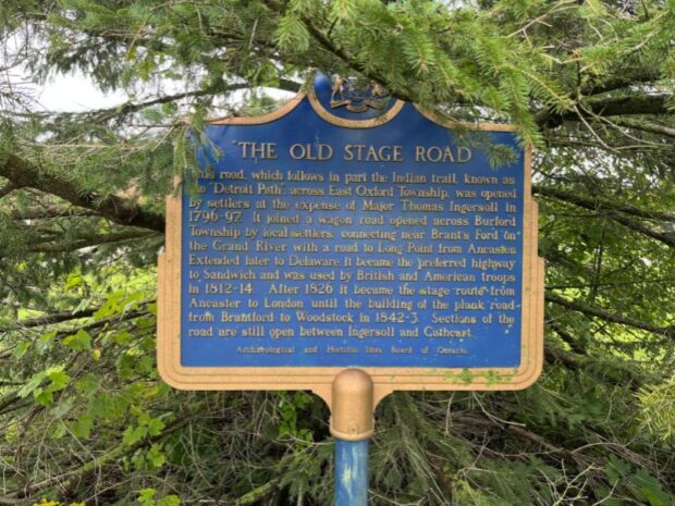
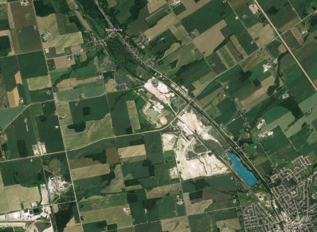
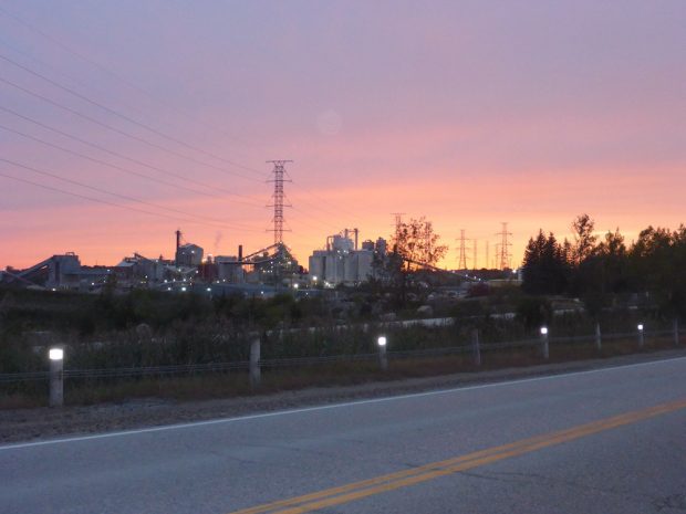
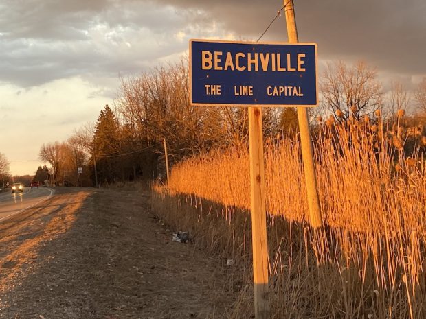
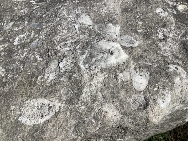
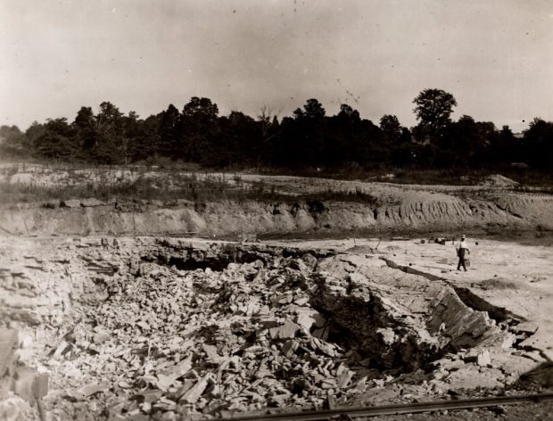
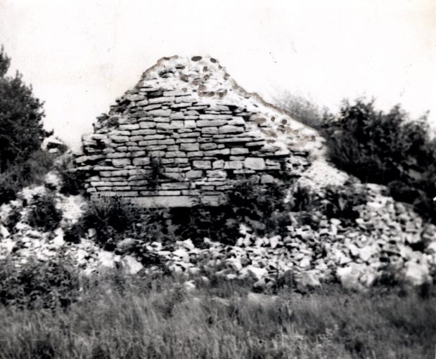
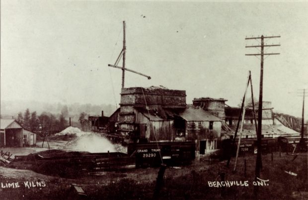
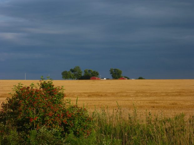
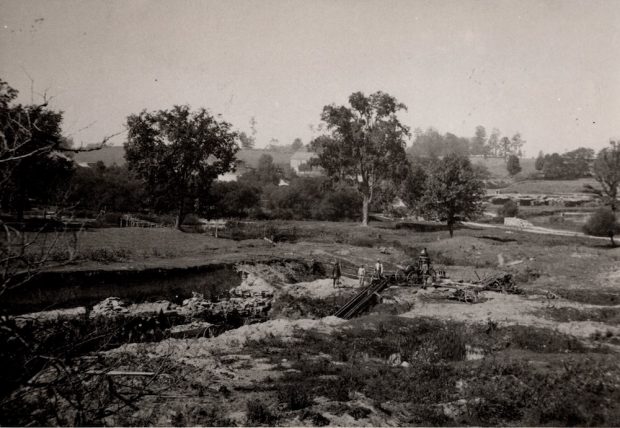
Gallery

Explore the limestone landscapes featured in "Bedrock of Beachville" through site maps, early excavation images, and pictures of full-size quarry pits. View various kilns, rock drills, power shovels, and conveyors that characterized Beachville’s quarries. Gain insights into the experiences of blacksmiths, drill operators, and truck drivers at the quarries. Some pages include audio recordings or contemporary video footage of explosives being detonated to take down huge sheets of rock. Click on an image to see it enlarged and described or to lead you to a video/audio clip.
A group of workers outside of the quarry
Gold and blue plaque describing significance of Old Stage Road
A satellite image of roads, quarry pits and farmlands between a village and a town
A colour photograph of a number of industrial buildings and set against a colourful sky and at a distance from a road
A partial facade of a stone building showing a white porch and a second-floor balcony - A Canadian flag flies atop its front door.
A colour photograph of a blue road sign beside high grasses, Sign reads Beachville The Lime Capital
A rocky surface that is grey and white and shows some radiating fossil lines.
A man walks beside layers of shattered rock
A heap of stone and brick in grass and brush with an opening at the bottom
A long set of connected brick and wood buildings beside a railroad track and a hydro pole
An image of a farm field landscape in the Beachville Region
A group of workers standing on a rural landscape beside a pit in the earth
  1. Page 1 of 8
  2. 1
  3. 2
  4. 3
  5. 4
  6. 5
  7. 6
  8. 7
  9. 8