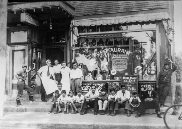
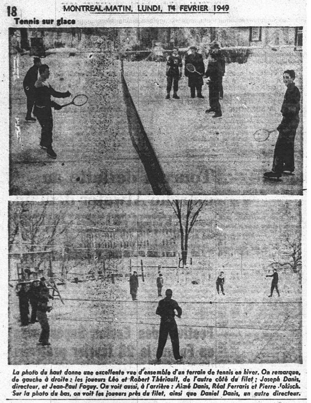
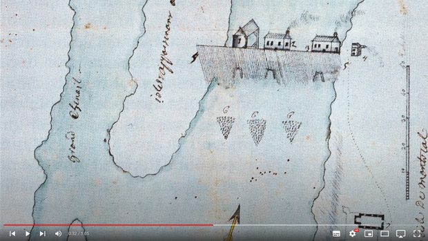
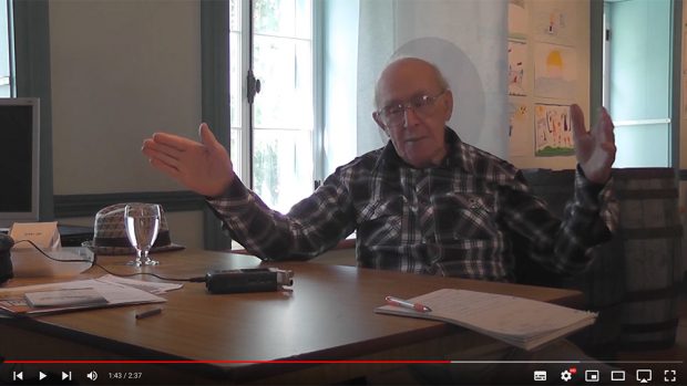
Gallery

Please browse the gallery below for all the images, videos and audio related to The mills of Île de la Visitation at the Sault-au-Récollet: Celebrating 300 years of history in 2026!. Click on an item to see an enlarged image with description or to play the video/audio clip.
Montage of two archive photographs. On the left, families standing behind a very large pile of apples. On the right, a section of the ice house on La Visitation Island.
Jacques Paquette, alongside Jean-Louis Legault, talks about the ice cutter’s trade.
Claude Brillon tells us about life with the Gendron family, on La Visitation Island.
In the centre, Alphonse Mérineau,with his daughter Georgette on the left, in front of their home on Du Pressoir Street. They are holding big carrots. Little Alfred Mérineau is on the right, near the porch, with a cap on his head.
Six of the Danis children huddled around their younger sibling who is in a walker. They are in a garden surrounded by a wooden fence.
Portrait of a group of twelve children from various Sault-au-Récollet families gathered in front of 10865 Du Pressoir Street. They are all wearing coats and jackets. Except for the tallest girl, they are all wearing a cap or hat.
The Danis family around 1939. At the time, they live on Hamelin Street, near La Visitation school.
In 1900, the village school, in the centre, looked like a large brick house with a mansard roof and dormer windows. On its left, a group of boys with their teacher. On its right, a wooden fence.
Many boys and a few men are sitting by the front window of Jeff Geoffrion’s restaurant. Standing to their left, four men and a woman seem to make up the entire staff. There is a lit marquee in front of the entrance.
A newspaper clipping from the Journal de Montréal showing two photos of tennis players wearing skates on a rink. The upper one is taken closer, alongside the net. Daniel Danis, who was one of the club’s administrators, appears on the second photo, a general view, with the La Visitation school in the background.
Detail of a map of the sector between Fort Lorette and the mills’ dike, most likely drawn before 1750. At the top, we see the dike and the first mills. On the lower right, Fort Lorette and its buildings, among which is the chapel of the missionary outpost.
On the first floor of the maison du Pressoir (cider press house), Marcel Henley talks about a job he had when he was young, at the Back River Power Company.
  1. Page 5 of 6
  2. 1
  3. 2
  4. 3
  5. 4
  6. 5
  7. 6