

RCA Map of Europe, 1940
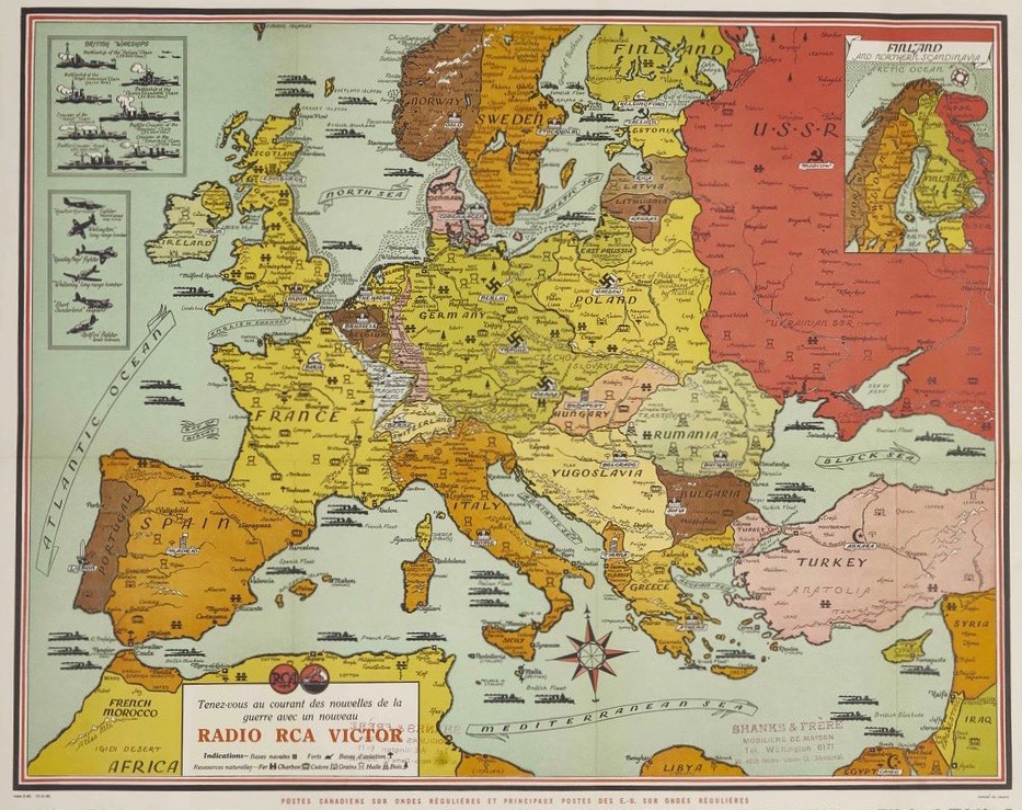
Geographic Map of Europe, RCA Victor (April 12, 1940), Montréal, Québec. 60cm x 74cm. Musée des ondes Emile Berliner.
Radio played an important role in bringing news about the Second World War into Canadian homes. Maps like this helped listeners follow the conflict visually. For manufacturers, such as RCA, selling radios was deemed a patriotic act and a public service.