

Where We Are
We are located on the southeast coast of Vancouver Island, in the Province of British Columbia, Canada.
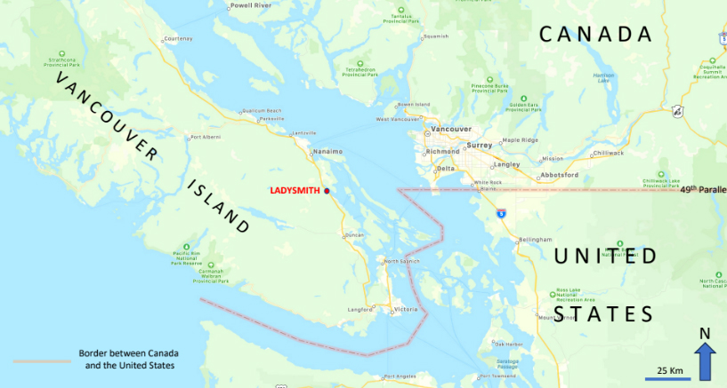
Map showing the location of the town of Ladysmith on the eastern side of Vancouver Island, British Columbia, Canada.
The Town of Ladysmith, with a population of 8,990 (2021), is tucked in between the mountains and the sea, bordering the western shore of Ladysmith Harbour.
From its streets, one looks east across the Gulf Islands to the jagged often snow-covered peaks of the Coastal Range of mainland British Columbia. To the immediate west of the town lies the unpopulated mountainous forested spine of Vancouver Island.
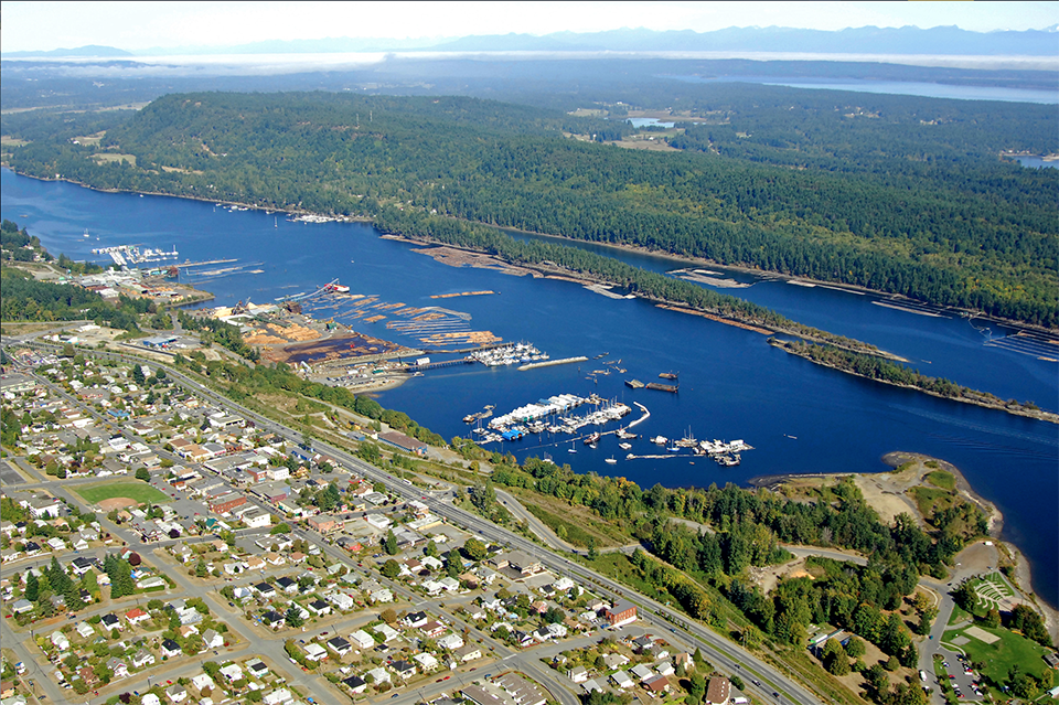
View to the north over the town of Ladysmith, Ladysmith Harbour and southeastern Vancouver Island toward the mountainous coast of the British Columbia Mainland.
Numerous historic buildings line the main street of the Town, giving it a distinctive character reflecting its rich cultural inheritance. An extensive network of trails invites the visitor to enjoy the area’s natural heritage.
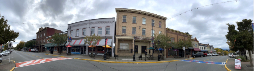
Panorama of heritage buildings lining First Avenue.
Transportation to Ladysmith is primarily by the Trans Canada Highway which runs through the town, with the Cities of Nanaimo to the north and Victoria to the south.