

Introduction: The Open Road
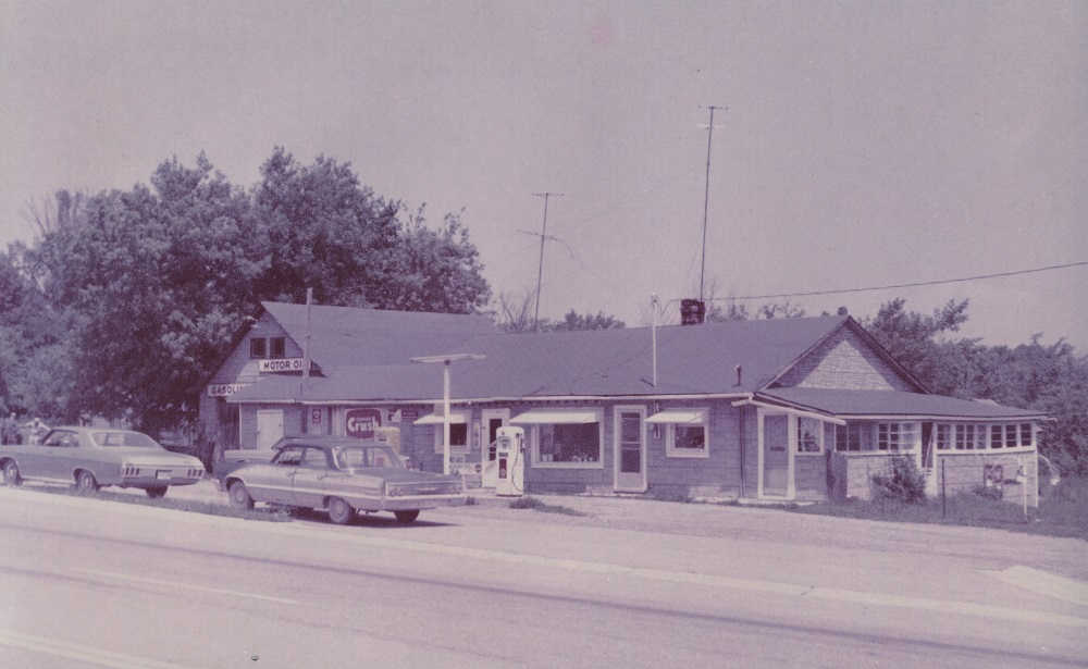
White Rose Service Station, Coboconk, ca. 1968-1969
For over 150 years, people have been packing their bags and escaping into the wilderness of northwestern Kawartha Lakes, in central Ontario. Whether it was the much-heralded clean air, the postcard-perfect lakeside vistas, or the rustic landscapes that drew them, there can be no question that tourists have long made this region a place of summer pilgrimage.
Originally, they came by foot or by horse and wagon. As technology improved, they came by train or by boat. For the better part of the last one hundred years, they have been coming by car. The ritual of packing up the family sedan and driving the long distance to the family cottage or lakeside resort has been deeply woven into North America’s collective cultural consciousness. The roadside gas station, motel, and restaurant – and not least the highway itself – have become symbols of our desire to “get away from it all” and enjoy the freedom of the open road.
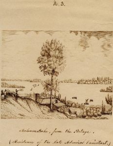
Drawing of Admiral Vansittart’s estate on Balsam Lake as seen from the Portage, Bexley Township, ca. 1860. Artist: Thomas Hepburn Robertson (1824-1864)
The rich and colourful history of highway-based tourism in Kawartha Lakes can be traced back to the early nineteenth century and a British naval officer named Henry Vansittart (1779-1844). Vice-Admiral Vansittart lived in Woodstock, Ontario, but around 1834 he purchased land on the shores of Balsam Lake and built himself a seasonal residence. Surrounded by wilderness, Vansittart nevertheless insisted on enjoying the luxuries found in urban centres and was said to relish both formal dinners and glasses of champagne!
Starting in the 1850s and continuing for two decades, colonization roads were constructed to link towns such as Lindsay with the remote backcountry to the north and northwest of Balsam, Cameron, and Sturgeon Lakes. These roads expedited settlement in what is today called “cottage country” – but the farming and logging operations they supported had a negative impact on the traditional lands of Indigenous peoples, and they form part of the complicated legacy left by European colonialism in Ontario. Other roads were carved out of routes that might have been mere footpaths or trails a few years before.
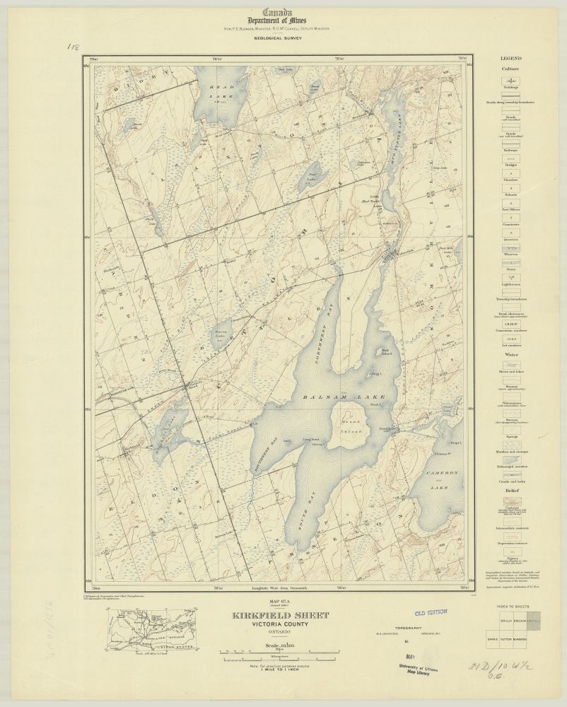
Topographical map of Kirkfield and district, 1916
Hamlets and villages appeared along these early roads, with names such as Bolsover, Coboconk, Kirkfield, Norland, Rosedale, and Victoria Road. Over time, these roads evolved into modern highways and the villages that grew up around them prospered.
The stage was set for a boom in recreational tourism that would define northwestern Kawartha Lakes for generations to come.
The freedom of the roads that go winding along
Like ribbons of silver and gold,
By orchards and meadows, and gardens and woods,
And rivulets crystalline cold;
And a fair panorama of villas and farms
As the milestones away from you reel,
Are only a few of the pleasures that go
With the price of an automobile.
– From “A Song Of The Automobile,” published anonymously in the Watchman Warder, April 2, 1914
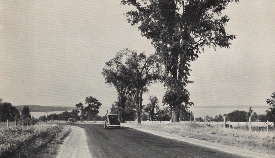
Highway 35 at Cameron Lake, August 10, 1940