

Museum of Ontario Archaeology: Excavation Plan
In 1987, the Museum of Indian Archaeology (now Museum of Ontario Archaeology) carried out excavations of 190 one-metre squares in and adjacent to the fort as part of an archaeological management plan of the Christian Island Reserve.
The management plan was initiated by the Beausoleil Band Council to conduct a broad-based and comprehensive study of the heritage assets of the Reserve with the following objectives:
- To investigate and evaluate heritage resources in terms of their nature, cultural importance, research potential, suitability for development and state of preservation;
- To produce recommendations and guidelines for the development of suitable heritage resources for both research and as educational facilities and tourist attractions; and
- To produce recommendations and guidelines for the preservation of heritage resources where appropriate.
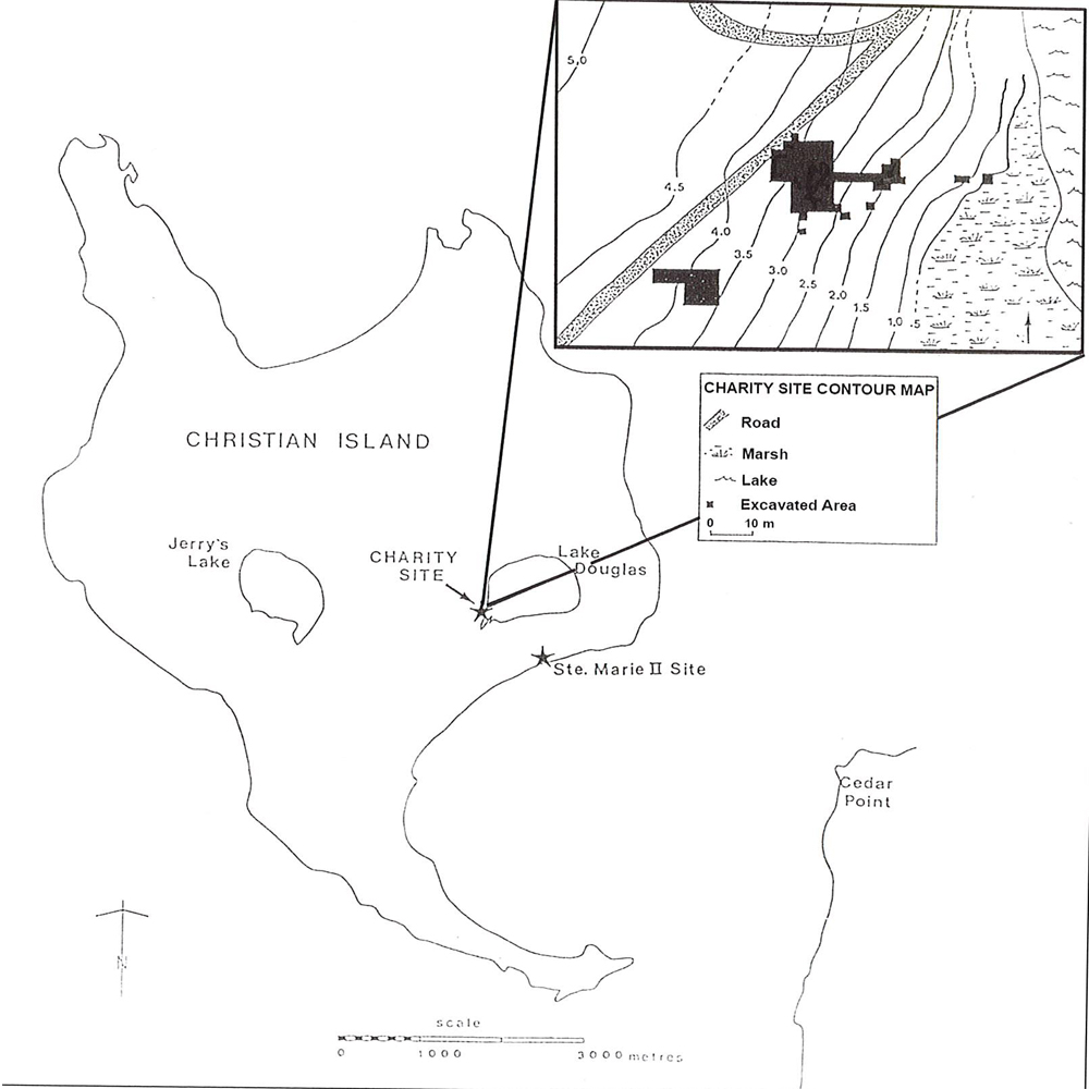
Map showing the location of Charity site with a superimposed map showing the excavation area.
The project involved an archaeological survey of the islands including excavations in and adjacent to the fort. This survey led to the discovery of the Charity site about a kilometre west of the fort.
Charity Site (Closed captions available in EN and FR) – View this video with a transcript (EN)
Ninety one-metre squares of Charity site were excavated yielding an iron nail identical to those found at the fort, suggesting that the village and the fort were built around the same time. The researchers concluded that the size of the Charity site was not large enough to have accommodated the thousands of Wendat that are known to have fled to the island and that there must have been other settlements and cabins constructed to accommodate all of those present in 1649-1651.