

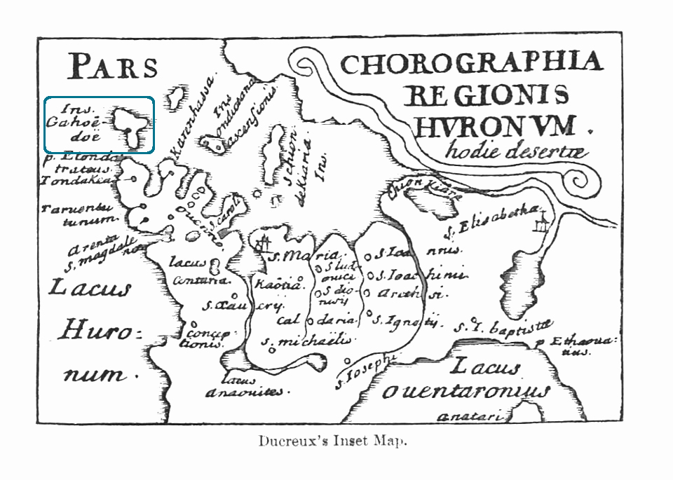
Ducreux Map
Ontario Archaeological Society: Huronia Chapter
http://www.oashuroniachapter.com/p/archaeologists-in-huronia.html
Date: 1660
With invaluable help of this map, a number of Jesuit Fathers starting with P. Chazelle first attempted to identify the remnants of Indigenous villages and European ruins with the documentation found in the Jesuit Relations.