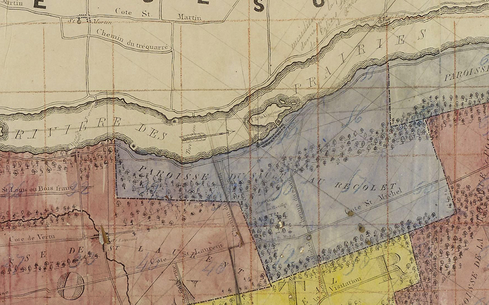
The territory of the Sault-au-Récollet parish in 1834
![Detail of a hand-coloured copy of André Jobin’s map of the Island of Montreal from 1834. Laval is at the top. The territory of the Sault-au-Récollet parish is in blue. Between them flows the Des Prairies River. To the right of an arrow, La Visitation Island.](https://www.communitystories.ca/v2/moulins-ile-de-la-visitation_mills/wp-content/uploads/sites/167/2022/04/1834_Andre-Jobin_coloriee_03Q_E21S555SS1SSS21P03-copie.jpg)
BAnQ 03Q E21,S555,SS1,SSS21,P03
On this hand-coloured copy of André Jobin’s map of the Island of Montreal from 1834, the territory of the Sault-au-Récollet parish is in blue.
BAnQ 03Q E21,S555,SS1,SSS21,P03
On this hand-coloured copy of André Jobin’s map of the Island of Montreal from 1834, the territory of the Sault-au-Récollet parish is in blue.