

Map of Rossland
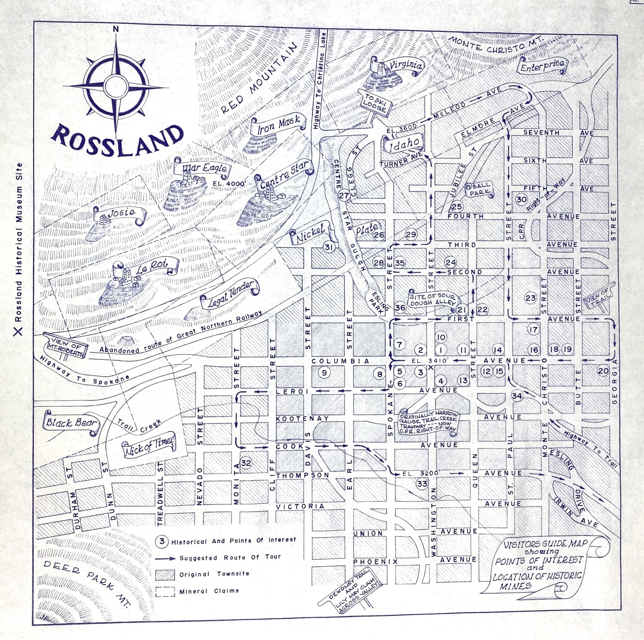
A2020.000.311 Rossland Museum & Discovery Centre Collection
Modern map representing early Rossland.
Rossland was named for Ross Thompson, the founder of the townsite. Initially, he wanted to call it Thompson, but the postal authorities rejected this name because there were nearby towns with similar names. Therefore, he and his business partners chose Rossland instead.