An unprecedented natural disaster
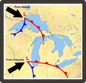
A Map with storms
The Great Storm of 1913, which lasted from November 6 to November 11, came from the collision of two major weather fronts. On November 7, the storm’s violent winds swept over Lake Superior. At 10 a.m. the same day, the Dominion Weather Observatory in Toronto ordered storm signals at all ports across the Great Lakes from Fort William to Kingston. This level four signal, the highest storm warning in the Great Lakes, flew at nearly all 100 ports across the region.
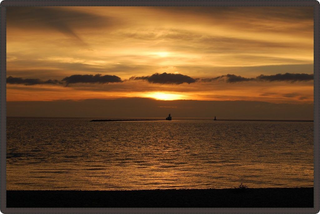
A nice lake view
On November 8, the storm intensified and moved toward Lake Huron. The system was a large arctic front moving quickly south, where it collided with hot and humid winds coming from the Gulf of Mexico. The resulting false calm led a number of captains to believe that the storm was letting up. The U.S. Weather Bureau warnings issued for November 8 warned of “snow or rain and colder, Saturday, with west to southwest winds. Sunday, unsettled.”